By: Erik Huisman
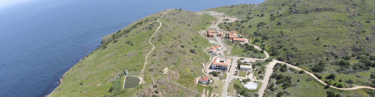
Hi from the USC Wrigley Marine Science Institute! My name is Erik Huisman, and I am a rising sophomore at USC spending this summer working on Catalina Island. I am double-majoring in Archaeology and Geodesign, and I am super happy to have found a summer opportunity that allows me to gain experience in both fields.
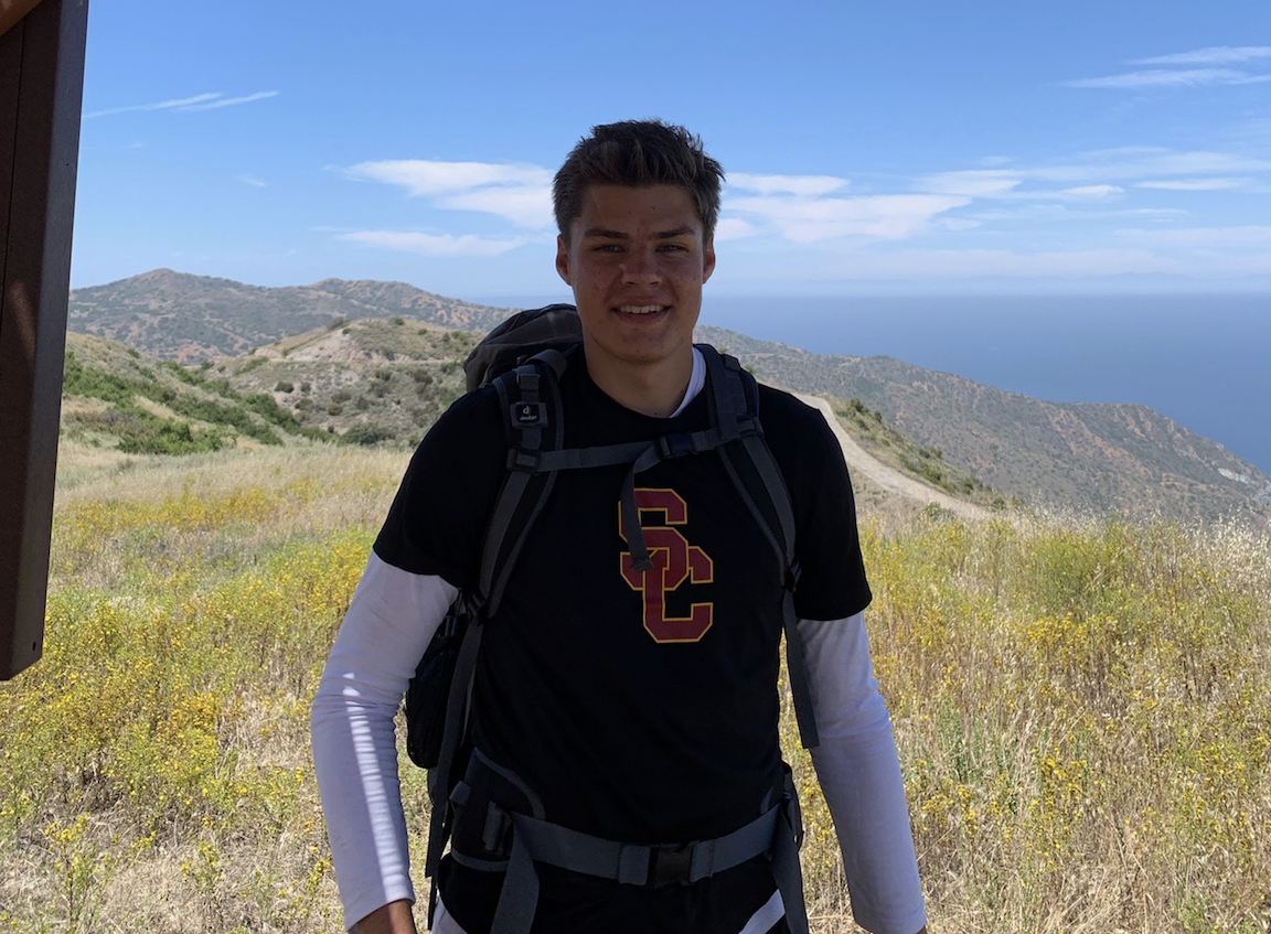
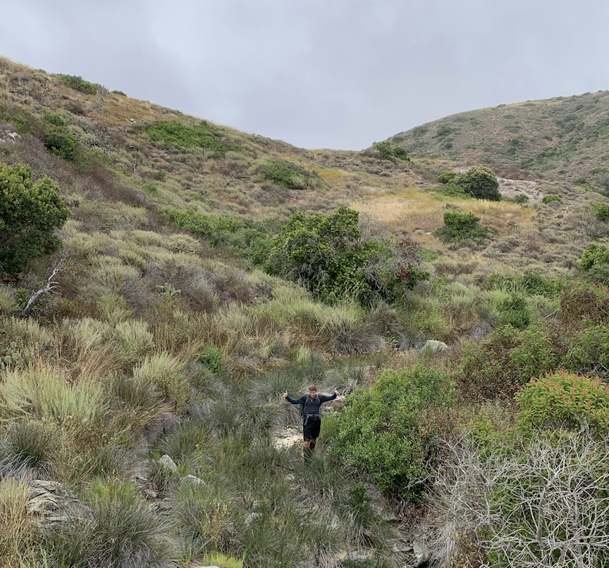
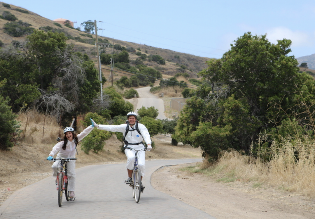
I am working with Lynn Dodd (USC Archaeology) and SuJin Lee (USC Spatial Sciences) to collect groundwater samples from all over Catalina. Sometimes this requires 10+ mile walks and bike rides over grueling hills, but other times we are lucky and receive rides. Field collection allowed for some fun stories – such as almost being caught up with a bison, exploring an old cave near Avalon, and finding ourselves in an underground bunker with 30 swarming birds.
After we collected our samples, we brought them to a lab at CSU Long Beach and performed some elemental analysis. This would give us insight into the quality of the water, and the geological and hydrological makeup of the island. I spent a lot of the summer working with ArcGIS—a mapping program—which helped us stay organized, as well as looking for patterns between the chemical makeup of each of our samples.
Aside from my scientific work, I have had a great time on the island. Everyone I met was super fun and smart. I also really enjoyed swimming, kayaking, snorkeling, and playing beach volleyball with them on the side!